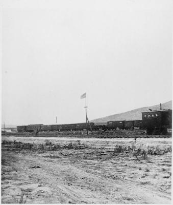
"Promontory Point, the spot where the track layers met and laid the last rail. Elevation 4,905 feet. Box Elder County, Utah."
Photograph
Identifier:
2016.99.2131869
Description
Black and white photo taken for US Geological Service.Note that the title given to the photo (by Jackson or the USGS) - Promontory Point - is incorrect. This picture depicts Promontory Summit. A CPRR train sits on the track with an American flag flyer over it.
Copyright Status:Public Domain